Przyroda
Land between Kraśnik and Lwów
The Roztocze region forms a narrow arch with a length of about 185 km and a width of 12 to 35 km. This highland range borders the Lublin Up-land to the north, the Sandomierz Basin to the south and the Volhynian Upland to the east.
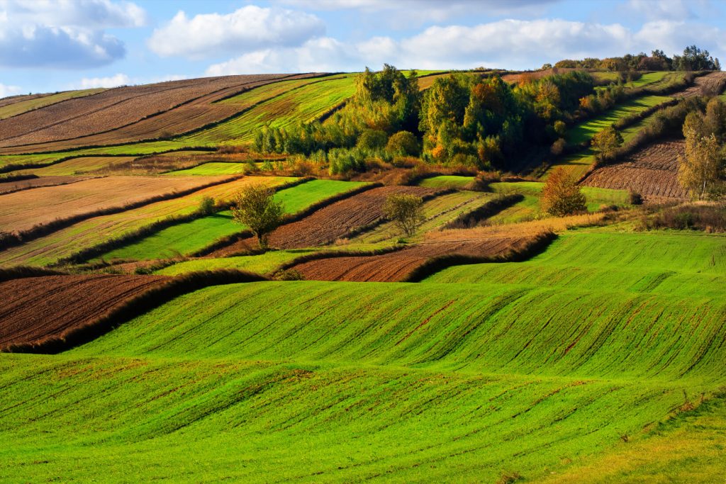
Roztocze impresses with its breathtaking landscape featuring a characteristic mosaic of crop fields and wooded hills, intersected with deep gorges and river valleys rich in knickpoints, referred to as rapids.
Kultura i historia
Cultural melting pot and witness of history
Roztocze is a uniquely interesting part of the borderland between Western and Eastern Slavdom in terms of culture, which is reflected both in the historical sacred and secular architecture as well as in intangible cultural heritage (religions, rites, customs, folk art etc.).
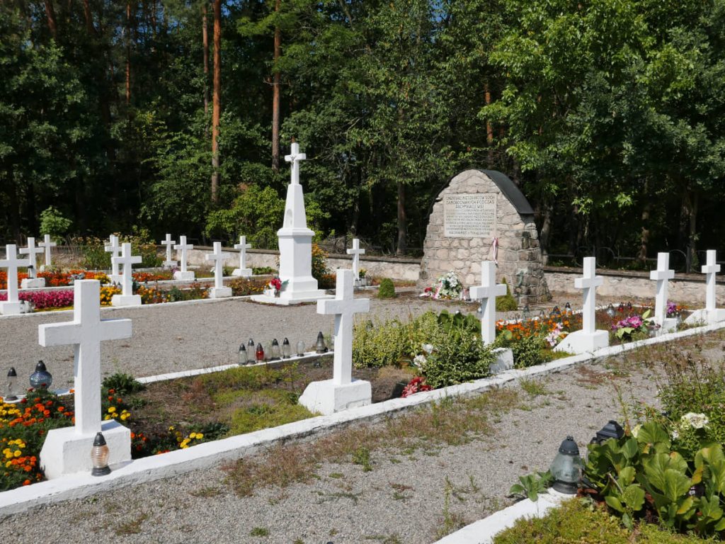
Roztocze and the adjoining areas were often a place of important military operations and lesser war battles. Military cemeteries, single graves and obelisks as well as numerous monuments and memorial plaques testify to these events.

Course of the route
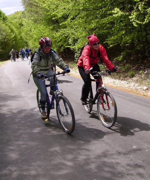
The Roztocze Main Cycling Route is a long-distance route and runs from: Kraśnik, through Batorz, Chrzanów, Radecznica, Szczebrzeszyn, Zwierzyniec, Józefów, Susiec, Bełżec, Lubycza Królewska, Hrebenne, continues across the Polish-Ukrainian border and leads through: Rava-Ruska, Potelych and Krekhiv to Briukhovychi (Lviv district). The first branch of the main route was created in the village of Krychów and leads to Zhovkva, and the second one in the village of Lozyna and leads through Ivano-Frankove to Vereshchytsia. The length of the main route from Kraśnik to Lviv (Briukhovychi) is 256 km and of the branch from Krekhiv to Zhovkva – 11 km and from Lozyna to Vereshchytsia – 21 km.
Level of difficulty
The route is characterized by medium difficulty
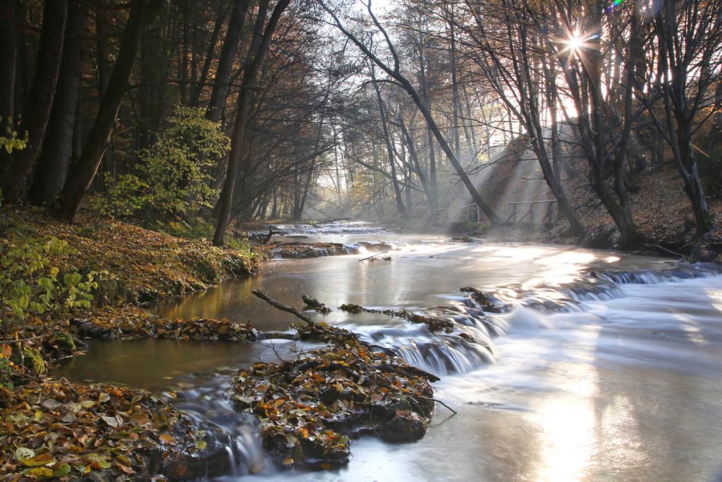
The Route runs mostly through asphalt roads, although there are also some short sections with unpaved surfaces. The route starts at 248 m a.s.l. and ends at about 310 m a.s.l. (in Briukhovychi). The lowest point of the route is located near the village of Radecznica at an altitude of about 210 m a.s.l., and the highest one – near the village of Zadebri at about 360 m a.s.l.
210 m a.s.l.
The lowest point of the route
Okolice Radecznicy
360 m a.s.l.
The highest point of the route
okolice Zadebrza na Ukrainie