Stage II
Zwierzyniec-Hrebenne
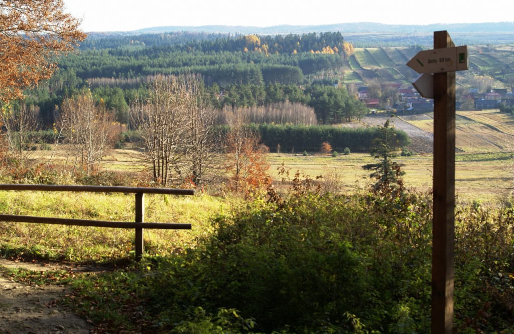
The second stage of the Roztocze Main Cycling Route runs through Central and Eastern Roztocze.
Central Roztocze – limestone and sand deposits with the highest elevation of 387 m a.s.l. (Wapielnia) – stretches between Zwierzyniec and Tomaszów Lubelski.
Eastern Roztocze (for the most part located in the territory of Ukraine) in Poland covers an area of 320 km2. The area is characterised by a great variety of relief with characteristic outliers, the height of which reaches 390 meters a.s.l. (Krągły Goraj, Długi Goraj and Wielki Dział).
Worth to see
Zwierzyniec
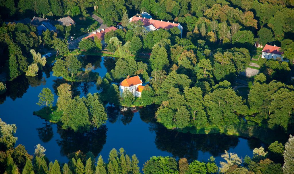
The Baroque church of St John of Nepomuk, built in 1741–1747 (referred to as „church on the island”); the urban park and the memorial stone erected in 1711 to commemorate the locust plague; the former residence of the plenipotentiary built in 1890 (the registered office of RNP); buildings of the former board of the Zamoyski Family Fee Tail (19th century) and the brewery built in 1802–1804
Roztoczański Park Narodowy
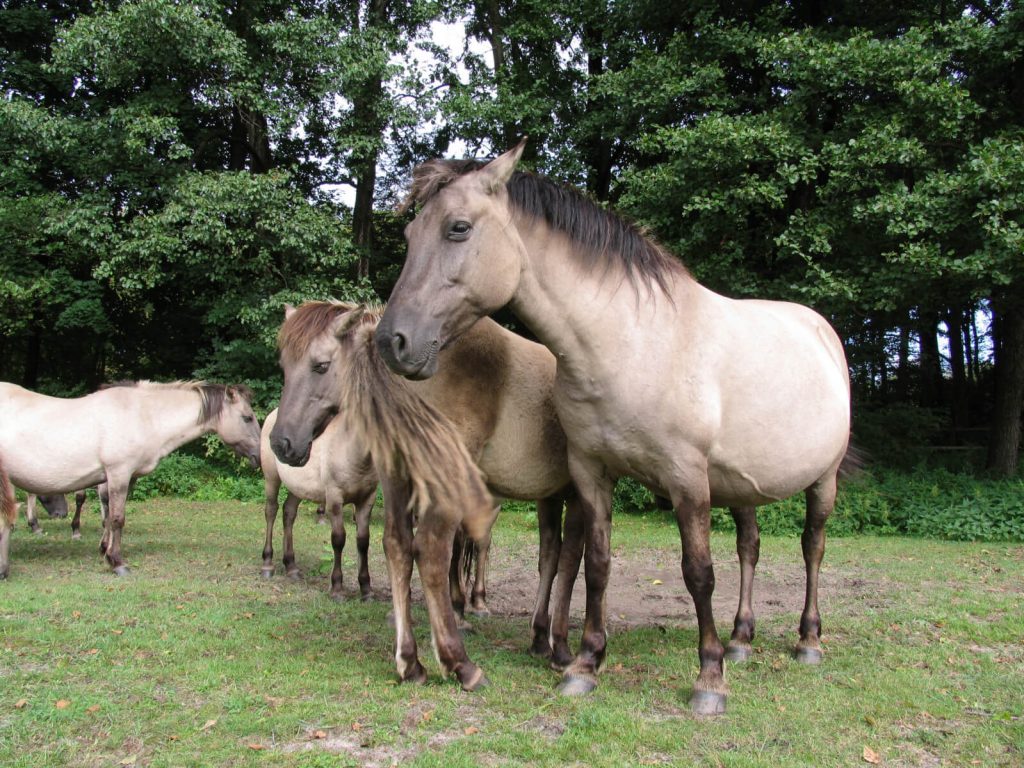
The Museum and Education Centre RNP; refugium of konik polski (Polish primitive horse); Stawy Echo (ponds); the trail leading to Mt Bukowa Góra
Sochy
The cemetery of pacification victims (1 June 1943); the remains of old stone and wooden constructions of the Roztocze village and the statuette from the early 20th century
Tereszpol
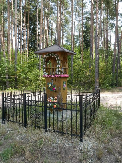
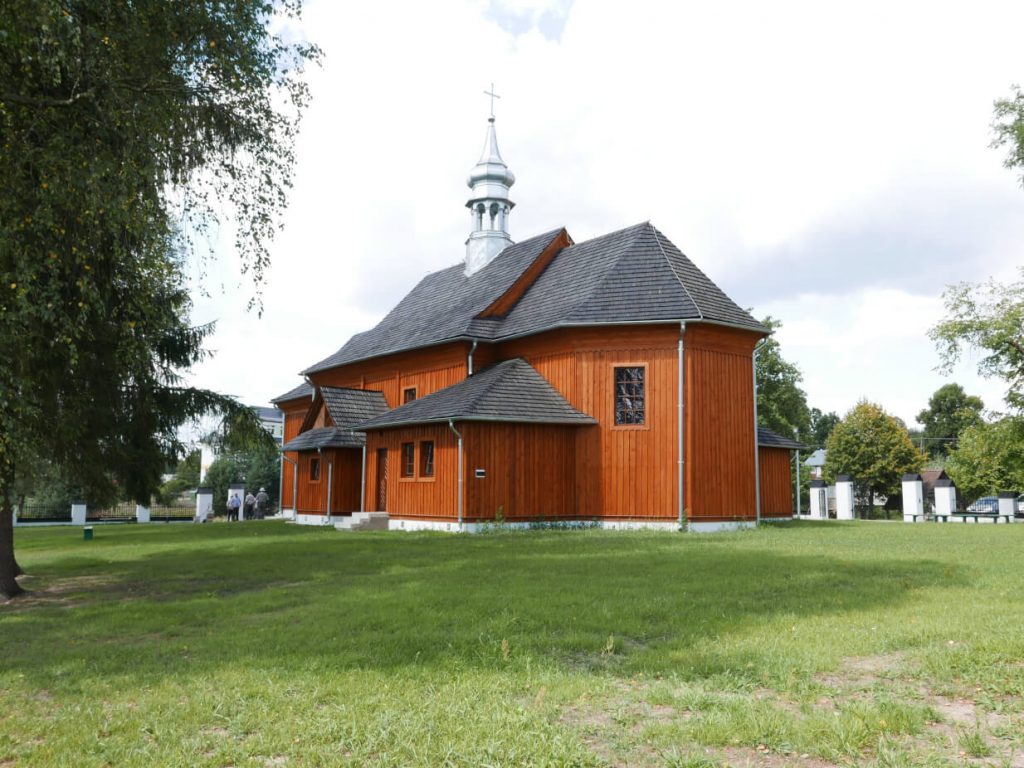
The Uniate church built in 1851 (since 1919 the Roman Catholic church of the Black Madonna of Częstochowa); the Catholic cemetery with graves of Polish soldiers killed in the September Campaign (the Invasion of Poland); the wooden pillar wayside shrine; the remains of old rural building development; the monument of inanimate nature, isolated rock outcrops (outliers) and the panorama of the “Łyse Byki” range
Górecko Stare
The manor complex with the wooden manor house from the early 20th century, the remains of the park (private area); the wooden school building from 1910; the wooden forester’s lodge and wooden houses from the second half of the 19th century, the spring and the inanimate nature monument
Józefów
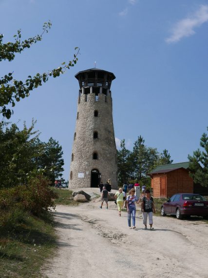
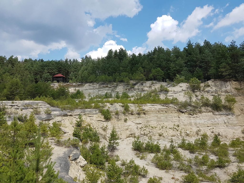
The church of the Immaculate Conception of the Blessed Virgin Mary built in 1886; the former synagogue from the 1870s (now a public library); the Jewish cemetery (the oldest matzevah dates back to 1762); the town hall from 1775 (currently the registered office of the Town and Community Council); the Monument to the Heroes of the January Uprising and World War II; roadside crosses, shrines and statuettes; quarries: “Babia Dolina (with an observation tower)” and “Tarnowolska Góra”
Rezerwat Czartowe Pole
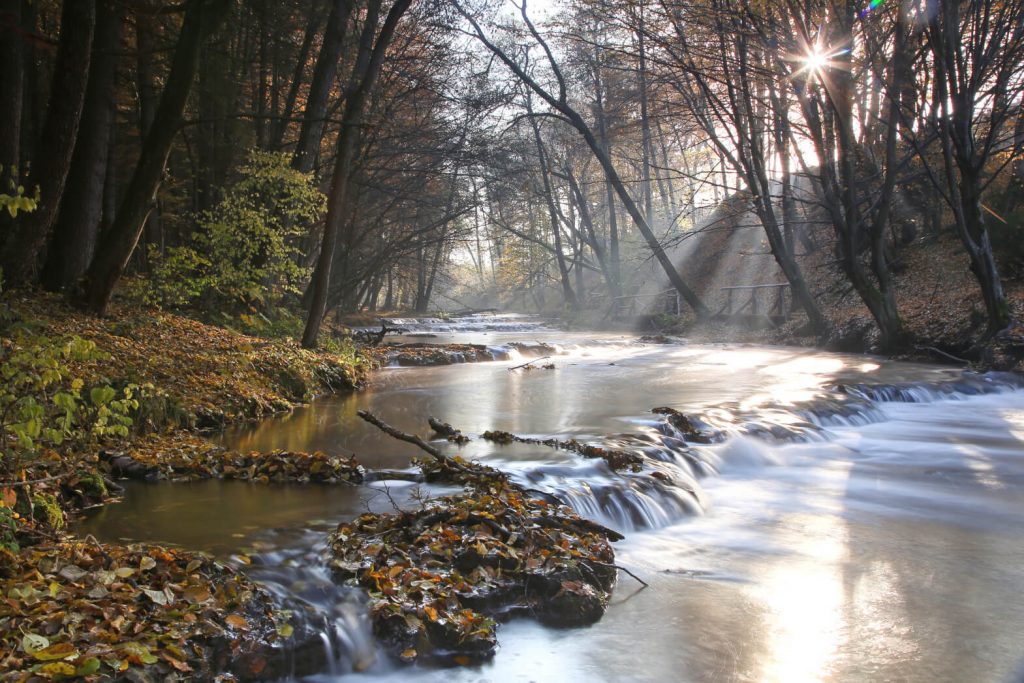
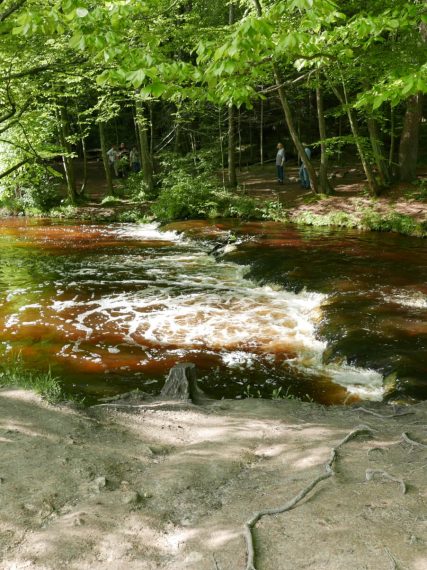
A section of the Sopot river preserved in its natural state; a gorge through the Roztocze marginal zone with beautiful waterfalls
Nowiny
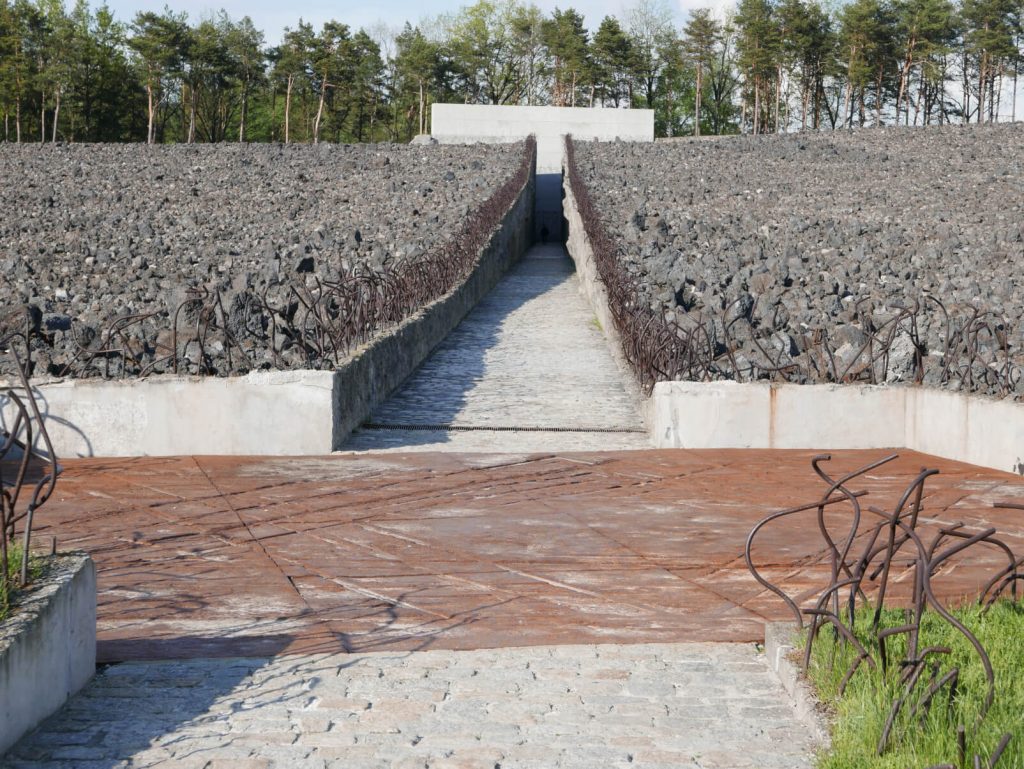
The memorial monument at the death camp site in Błódek and the quarry on Mt Krzyżowa Góra
Majdan Sopocki
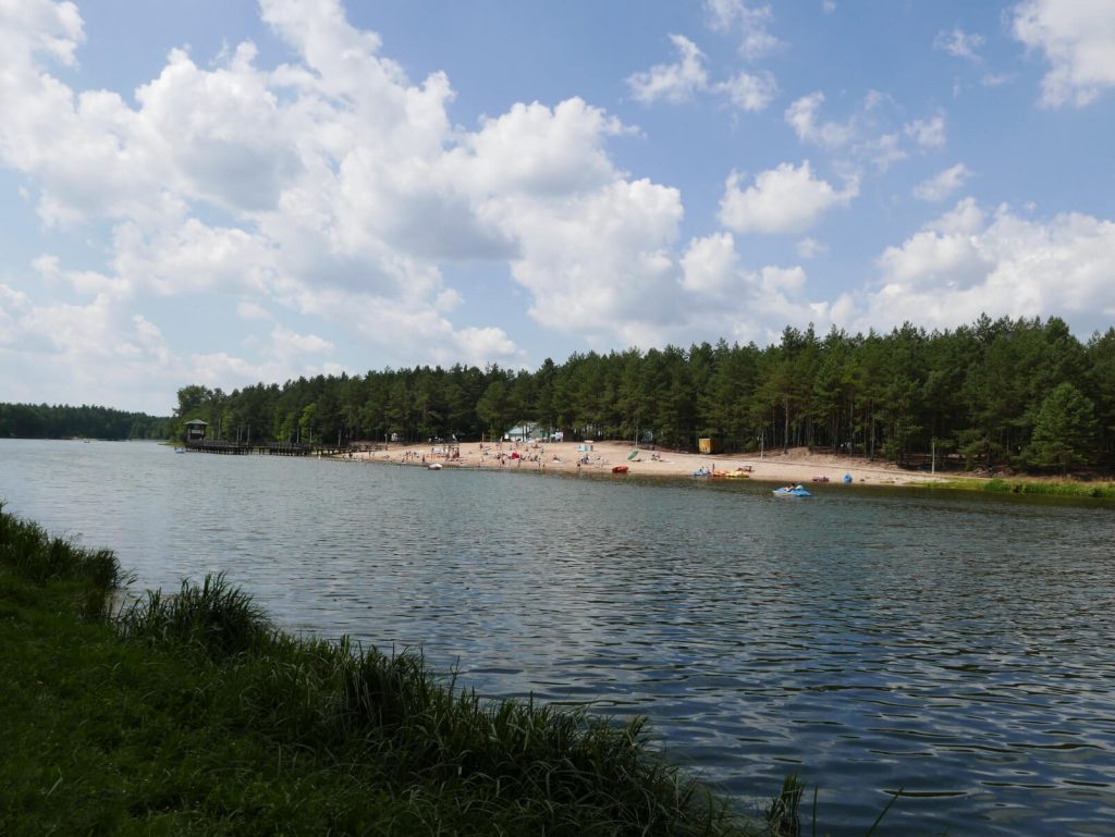
The church of St Thomas the Apostle (former Uniate church from 1835) and the water reservoir
Susiec
The church of St John of Nepomuk and the remains of the manor park from the late 19th century; the wooden water mill from 1925; the “Szumy na Tanwi” Nature Reserve; the waterfall on the Jeleń stream and the “Kościółek” fortified settlement located at the mouth of the Jeleń river into the Tanew river
Łosiniec
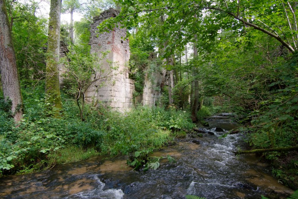
The church of St Joseph and Michael the Archangel’s Protection; the war cemetery from 1939; the water mill in Wólka Łosiniecka and the picturesque Łosiniecki Potok valley
Chyże
The chapel of the Immaculate Heart of the Blessed Virgin Mary built in 1840; the shrine of St Anthony from the second half of the 19th century and the remains of the 19th century wooden architecture
Bełżec
The wooden Uniate church of St Basil from 1757, moved from Leipzig in 1838; the church of Our Lady Queen of Poland from 1912; the small chapel of St John of Nepomuk (the first half of the 19th century); the wooden building of the municipal office and buildings of the former distillery from the 19th century; the mausoleum at the Nazi death camp site; cemeteries (the cemetery from World War I; the war cemetery from September 1939; the Gypsy graveyard from 1940 and the cemetery of victims of the epidemic of 1831)
Lubycza Królewska
The brick church of Our Lady of the Rosary and the Guardian Angels
Linia Mołotowa
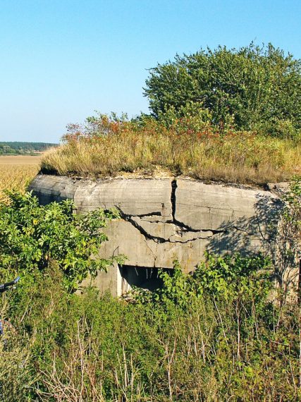
Fortifications called the Molotov Line were constructed in the years 1940-1941 by the USSR. They constitute a fragment of a vast line of fortifications on the border with General Government. The fortifications were designed by General Lieutenant of military engineering units Dymitr Karbyszew. The works were supervised by Chief of General Staff of the Red Army Marshall Boris Szaposznikov himself.
Approximately 90 objects are currently located along the Roztocze section of the Molotov Line. Largest bunkers feature at least two stories.
Siedliska
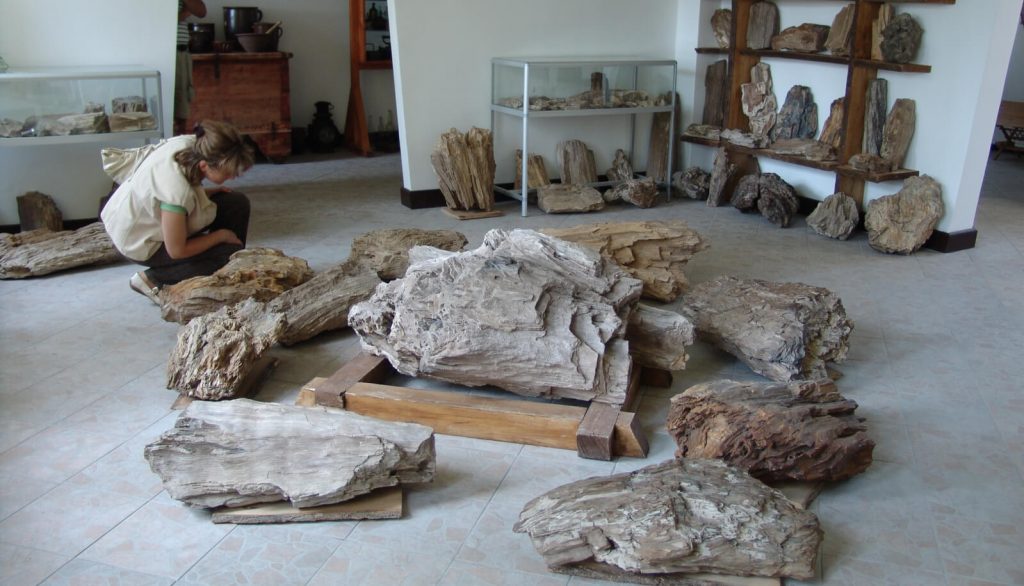
The Greek Catholic Orthodox church of St Nicholas and the wooden bell tower from 1831; the church from 1903 (former burial chapel); the Petrified Wood Museum; the shrine of St Nicholas from 1930 at the sources of the Prutnik stream; the educational trail “Szlakiem skamieniałych drzew” (Petrified Trees trail), the “Jalinka” Nature Reserve; wooden farmsteads from the late 19th and early 20th century
Hrebenne
St Nicholas Orthodox church from 1685 (rebuilt in 1897) with the preserved polychrome from the 17th and 18th centuries, used both by Catholics and Greek Catholics; the wooden belfry from the late 18th century and the brick gate from the early 19th century; ponds that serve as a refugium for waterfowl


